 vesseltracker.com
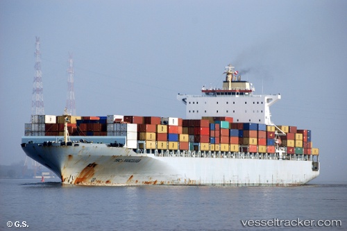
Vessel MSC VANCOUVER IMO: 9285691, MMSI: 636020499 Container Ship
UTC, 18.68618, -81.79737, course: 307, speed: 16.6
UTC, 19.05360, -82.28109, course: 306, speed: 15.9
2026-02-21 21:25:56 UTC, 19.20691, -82.49709, course: 308, speed: 15.2
Live AIS position:
UTC. 63 nm W of Georgetown, Grand Cayman),
updated 2026-02-21 21:25:56 UTC.
Find the position of the vessel MSC VANCOUVER on the map. The latter are known coordinates and path.
marine traffic ship tracker show on live map
The current position of vessel MSC VANCOUVER is 19.20691 lat / -82.49709 lng. Updated: 2026-02-21 21:25:56 UTCCurrently sailing under the flag of Liberia
MSC VANCOUVER built in 2004 year
Deadweight:
93638 tDetails:
Last coordinates of the vessel:
UTC, 18.40127, -81.41671, course: 307, speed: 15.4UTC, 18.68618, -81.79737, course: 307, speed: 16.6
UTC, 19.05360, -82.28109, course: 306, speed: 15.9
2026-02-21 21:25:56 UTC, 19.20691, -82.49709, course: 308, speed: 15.2